The Appalachian Region stretches from Mississippi to New York. In 1965, Congress authorized the Appalachian Development Highway System (ADHS) to connect remote areas of Appalachia to the national Interstate Highway System.
Corridor H is the final of six ADHS routes built-in or through West Virginia. The route is planned as a four-lane divided highway and has been constructed in segments, most of which are open.
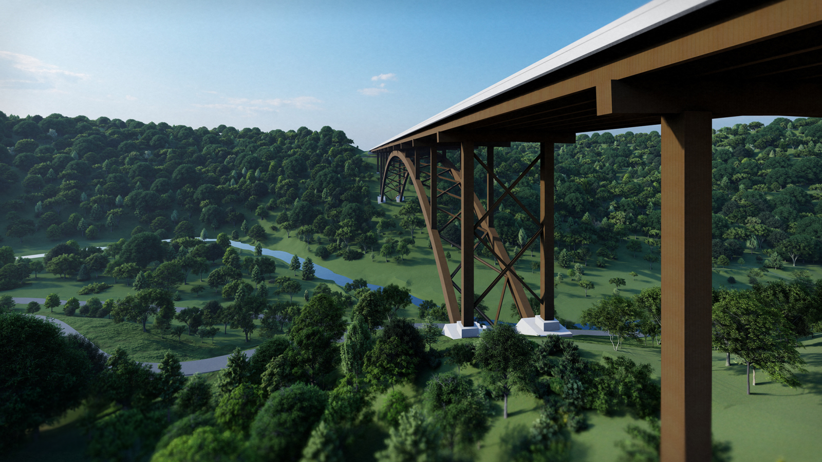
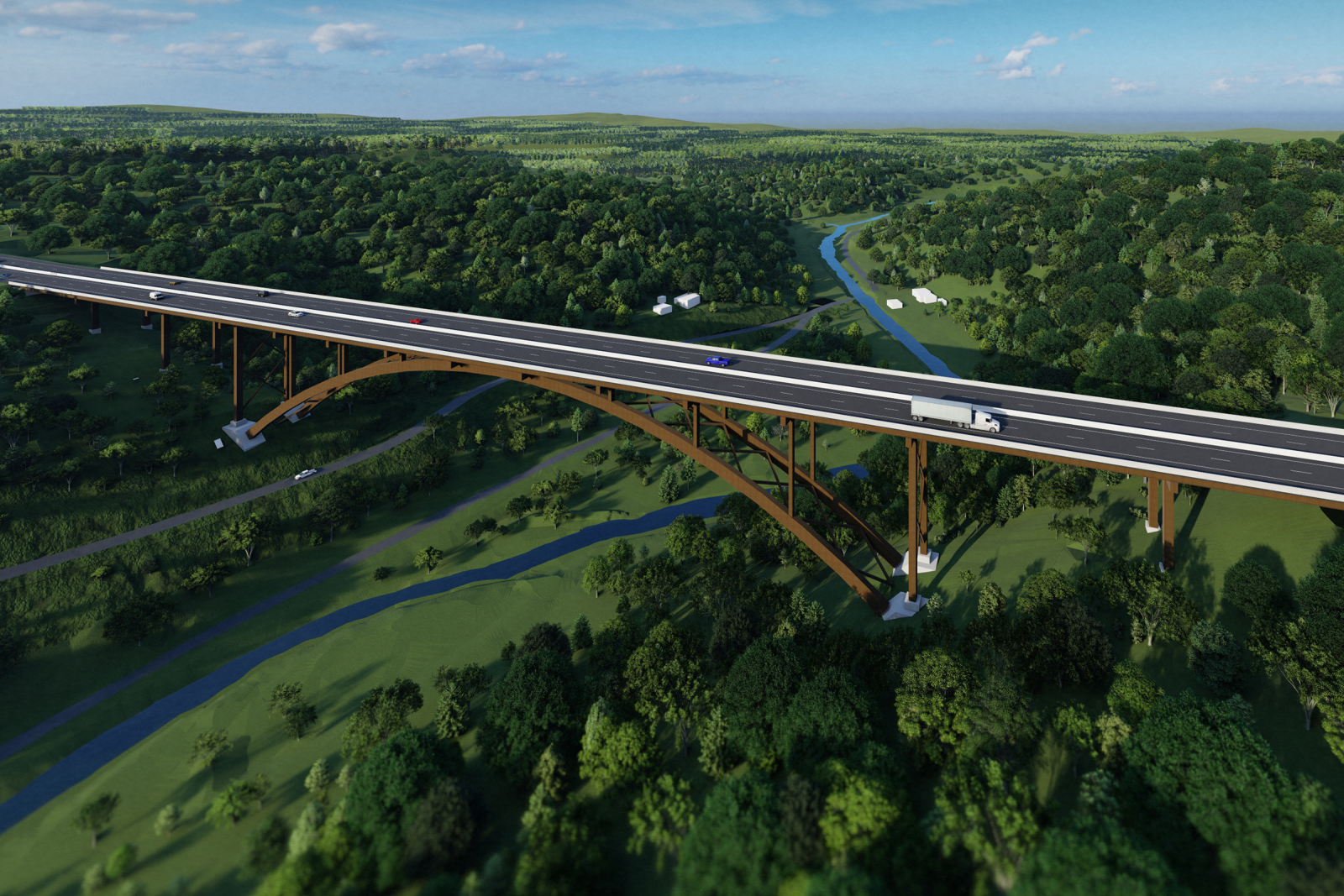
West Virginia’s segment of Corridor H crosses very mountainous terrain, some of the most rugged in the eastern United States and crosses two major rivers. There are over 1000 historic structures, five historic districts, two Civil War battlefields, abandoned coal mines, and other archaeological sites within five miles (8.0 km) of Corridor H, and the highway crosses two national forests.
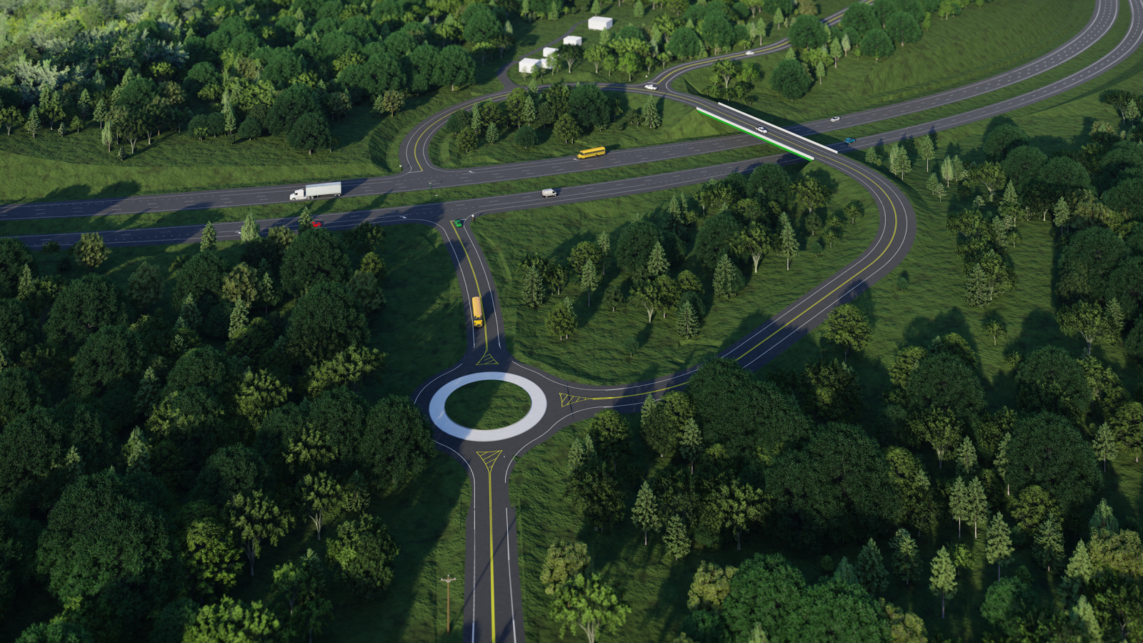
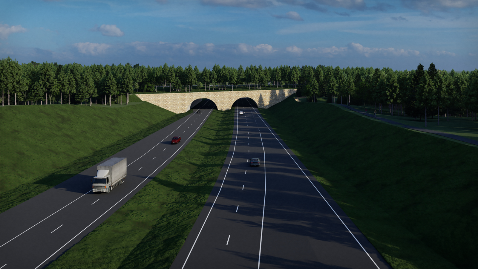
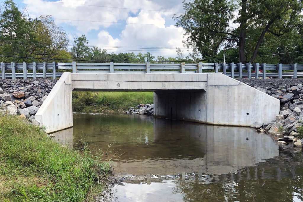
Located in the Northeastern portion of West Virginia, the Parsons-Davis project is a part of the Appalachian Corridor System (Corridor H). This segment, located between the towns of Parsons and Davis, is approximately 9.34 miles long and includes 3.5 miles of 4-lane divided highway, ramps, access roads, and six bridges, including a 700’ arch bridge and one underpass.
GPI’s responsibilities include the management and design of the project and coordination with the client, other agencies, and environmental consultants. As the project progressed, the GPI team faced several environmental concerns ranging from rare, threatened, and endangered species habitats to a historic district. GPI adjusted the alignment to minimize impacts and incorporated several bridges to span the sensitive locations and provide animal passage.
Project Highlights
-
Owner/ClientWest Virginia Department of Transportation
-
LocationNortheastern, WV
-
ServicesBridge Engineering
Highway Engineering