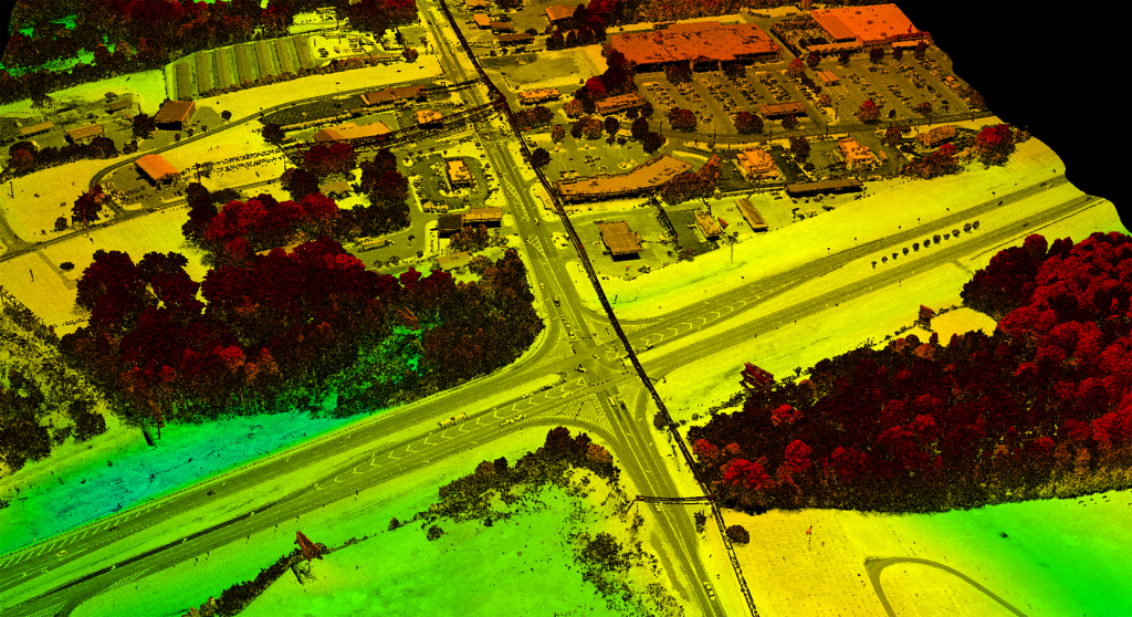
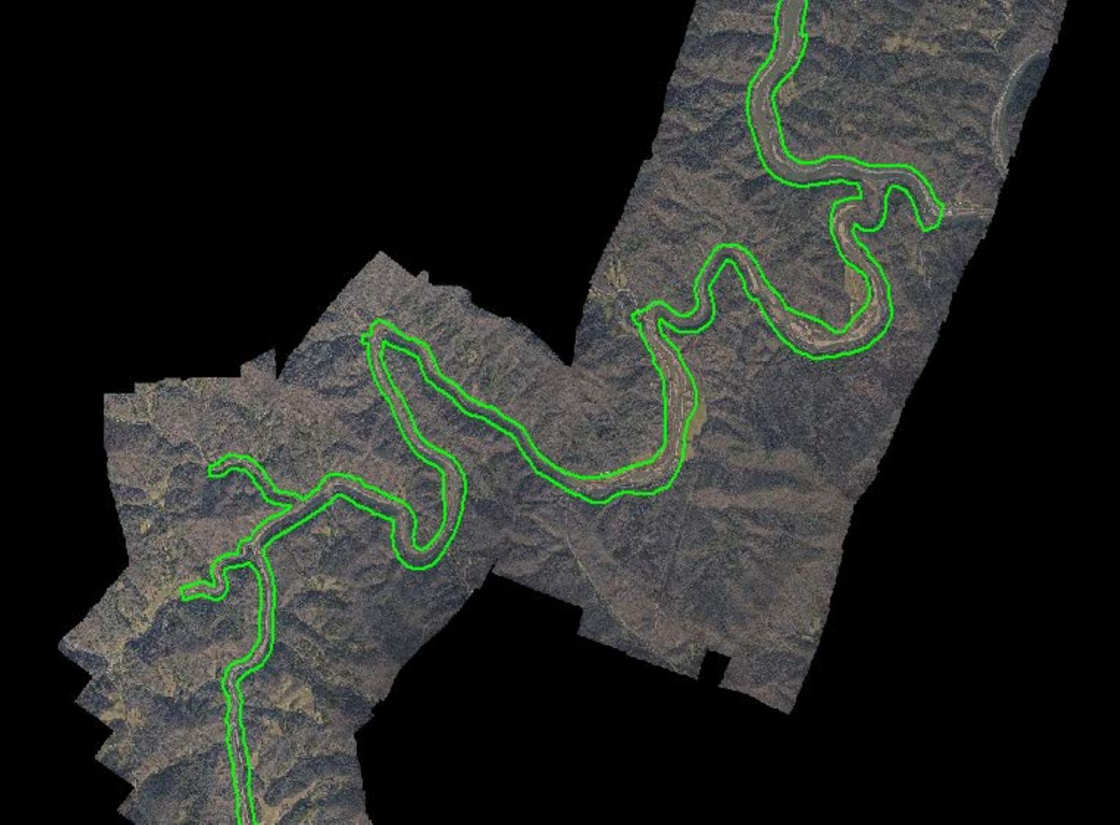
In September 2024, Hurricane Helene caused catastrophic damage in North Carolina. Unprecedented rainfall flooded the Nolichucky, Cane, and North Toe Rivers, all of which run parallel to the U.S. 19 roadway corridor, causing significant flooding. The resulting flooding destroyed homes, businesses, and bridges, and displaced many segments of rail line and wooden ties from their ballast foundations. In response, the North Carolina Department of Transportation (NCDOT) contracted with GPI Geospatial to complete digital mapping services for a 22-mile-long corridor of US Highway 19 West in Yancey and Mitchell Counties, NC.
NCDOT required design-grade topographic survey data deliverables on an expedited schedule to support the safe and efficient engineering design needed to begin recovery.
Aerial imagery/lidar was acquired simultaneously with Riegl 1560II and PhaseOne camera system at an altitude of 3,000’ AGL with 2.5-inch pixel resolution imagery and ~40 ppm2. Field survey included 25 photo-identifiable points and 16 vertical checkpoints. Lidar calibration/classification, analytical triangulation, 1”=50’ photogrammetric planimetric mapping, 1’ spacing DTM(mass points/breaklines) and 3” orthophotography were processed for the entire corridor. All data was developed using the specifications stated in the NCDOT Mapping Manual, Photogrammetry DTM section, and all mapping was compiled to comply with North Carolina Administrative Code 56.1606 (21 NCAC 56.1606).
Final mapping deliverables were in two phases, and included:
Phase I:
o DTM (1-foot point spacing with breaklines)
o Preliminary Uncontrolled Mosaic
o Classified LAS files
o Airborne Survey Report
o IPD Photogrammetry Unit Quality Control (QC) Checklist
o Supporting Documentation/Files
o Exterior Orientation Data
o Control File Information
Phase II:
o Shell Plan Sheet Mapping (3D linework)
o Final Uncontrolled Mosaic
o Revised Airborne Survey Report
o IPD Photogrammetry Unit Quality Control (QC) Checklist
o Supporting Documentation
o AT Report
The data delivered provided NCDOT with an accurate, reliable picture of post‑storm conditions, enabling engineers to confidently plan and design repairs. With this information, the state could move forward rebuilding washed-out roads and rail infrastructure, which would lay the groundwork for safer, more resilient transportation systems and help communities begin the path to recovery.
Project Highlights
-
Owner/ClientNorth Carolina Department of Transportation
-
LocationYancey and Mitchell Counties, NC
-
ServicesAerial Imagery
Aerial LiDAR
Digital Mapping
Digital Orthophotography
Survey


Ranked in the Top 100 Professional Services Firms
The ENR (Engineering News-Record) Top 100 Professional Services Firms is an annual ranking of the top firms in the professional services sector within the construction and engineering industry. Being recognized as an ENR Top 100 Professional Service firm signifies a company’s excellence, credibility, and competitiveness within the construction and engineering industry.