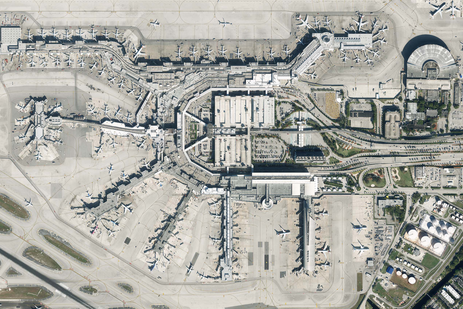
The Miami-Dade Aviation Department (MDAD), an agency of the Miami-Dade County government in FL, manages Miami International Airport as well as four general aviation airports. Miami International is one of the world’s busiest airports with over 80 airlines serving around 150 destinations globally. The airports are heavily used for commercial, cargo, and some military flights.
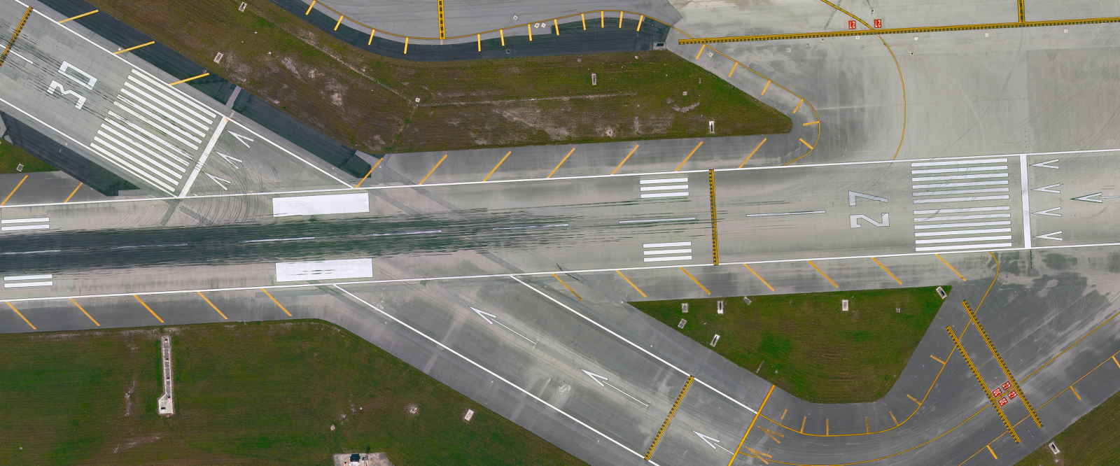
To comply with FAA guidelines for accurate aircraft positioning in all conditions, MDAD regularly updates its aerial imagery and mapping library. This data, stored in a GIS database, is also crucial for infrastructure growth and maintenance. The airports in Miami are particularly challenging from an aerial collection standpoint. Weather, location, and airspace restrictions create a small window of opportunity.
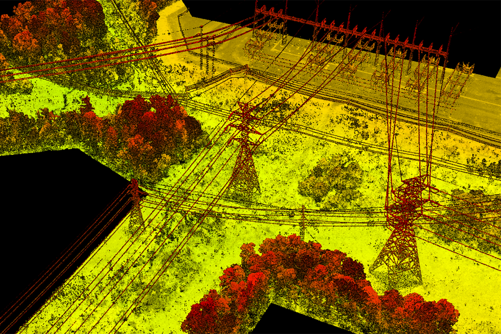
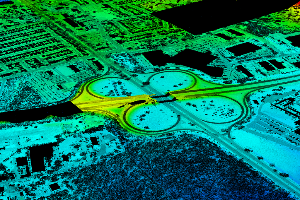
As a part of a multi-year agreement, GPI Geospatial supplies professional services for photogrammetry, topography, planimetry, LiDAR imaging, orthophotography, and ground survey support. The collaboration involves updating maps for Miami International, Miami Executive, Opa-Locka, and conducting an obstruction survey for Miami International, using high-resolution imagery and established relationships to navigate airspace challenges.
Project Highlights
-
Owner/ClientMiami-Dade Aviation Department
-
LocationDade and Collier Counties, FL
-
ServicesLiDAR Imaging
Orthophotography
Photogrammetry
Planimetry
Survey
Terrestrial Survey
Topography




Ranked in the Top 100 Professional Services Firms
The ENR (Engineering News-Record) Top 100 Professional Services Firms is an annual ranking of the top firms in the professional services sector within the construction and engineering industry. Being recognized as an ENR Top 100 Professional Service firm signifies a company’s excellence, credibility, and competitiveness within the construction and engineering industry.
