The Georgia Department of Transportation (GDOT) is responsible for planning, designing, constructing, maintaining, and enhancing the transportation infrastructure in the state of Georgia.
Beyond roads and bridges, GDOT plays a role in developing public transportation, including mass transit and aviation. The department also offers administrative support to the State Road and Tollway Authority and the Georgia Rail Passenger Authority. GDOT oversees waterways, including the Intracoastal Waterway, as well as the ports in Savannah and Brunswick.
With a commitment to facilitating the timely and efficient movement of people and goods across the state, GDOT focuses on maintaining transportation safety and alleviating congestion. The department conducts various projects, including roadway widening, repaving, safety improvements, and rehabilitation work. Designing these projects relies on a solid foundation of accurate mapping, ensuring the success and effectiveness of GDOT’s initiatives in enhancing Georgia’s transportation infrastructure.
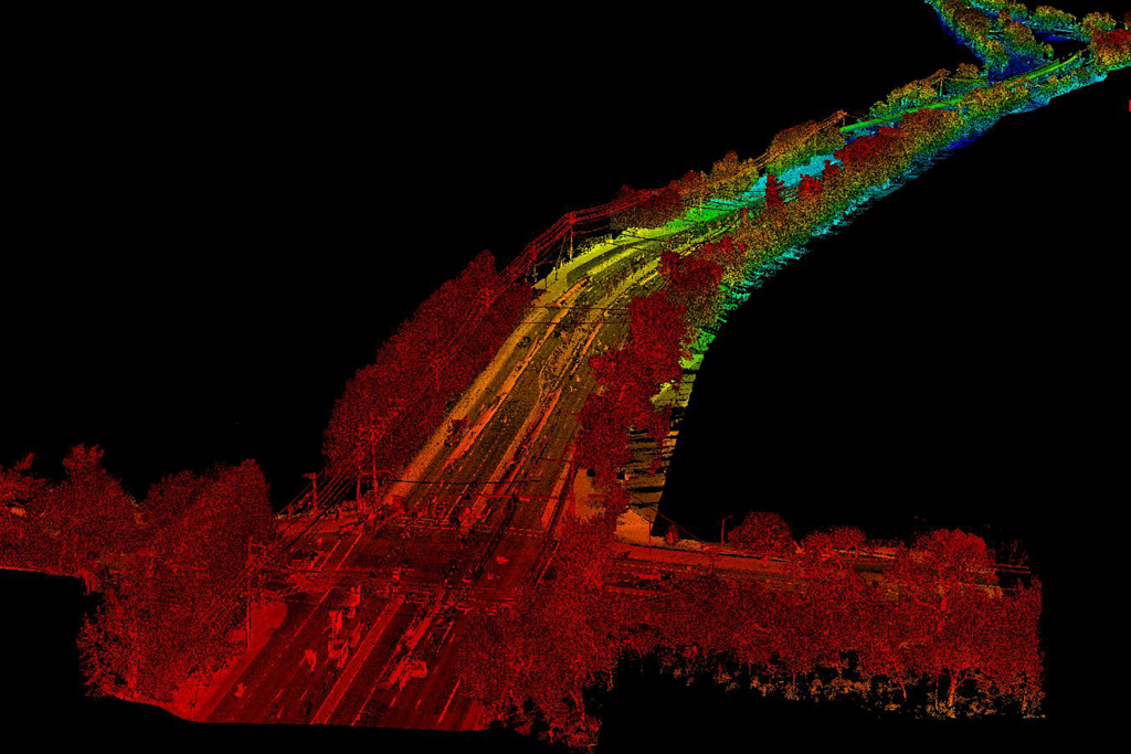
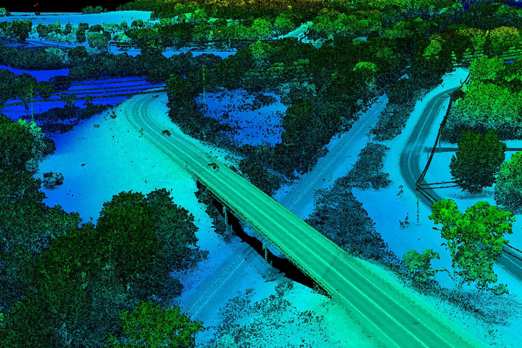
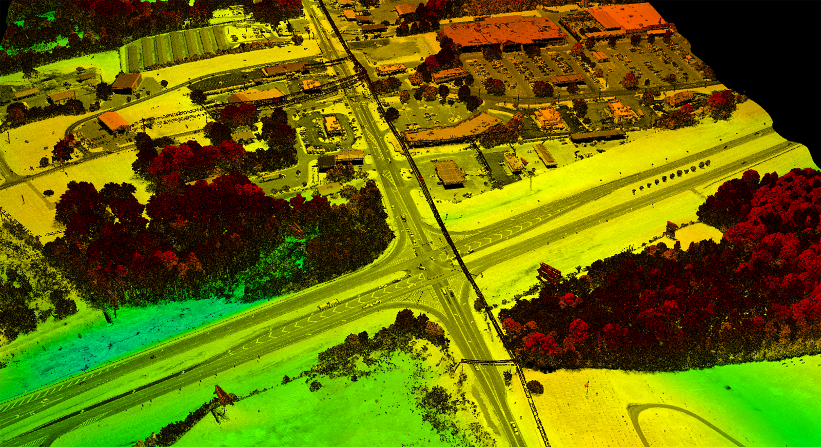
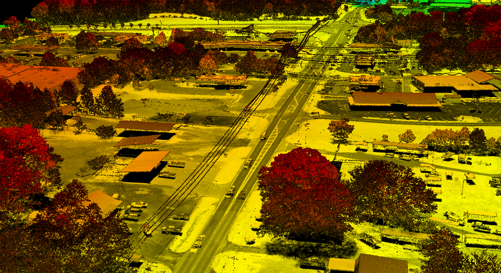
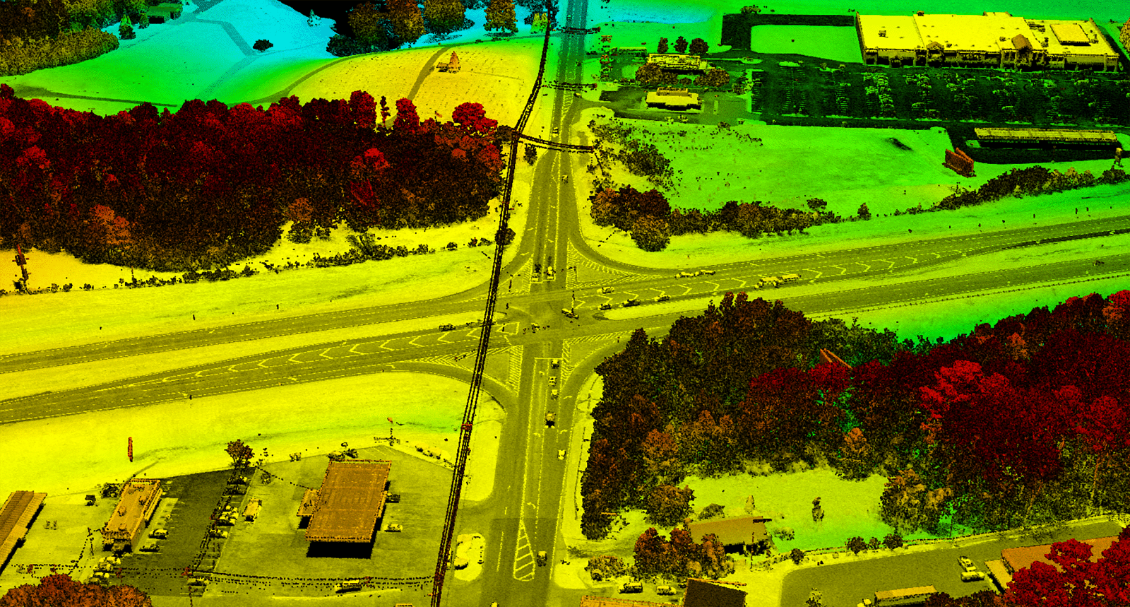
Under a Master Photogrammetric 2-year contract, GPI Geospatial has successfully completed 24 projects through 14 work orders. The range of services includes aerial photography, aerial lidar acquisition and processing, terrestrial lidar scanning, ground surveying, photogrammetric feature collection, and project report preparations. In addition to planned projects, GPI Geospatial demonstrated agility by responding to an emergency project, swiftly mobilizing within hours to capture aerial data for a landslide. The aerial data collected achieved an accuracy of 0.10′ on paved surfaces, complementing aerial imagery for mapping product creation. Lidar collections maintained a point density of 20 points per meter or higher in a single pass. Field-collected information on topography, drainage, utility, right-of-way, and property details supplemented the aerial mapping as required.
Project Highlights
-
Owner/ClientGeorgia Department of Transportation
-
LocationStatewide Georgia
-
ServicesAerial Imagery
Aerial LiDAR
Survey
Terrestrial LiDAR

Ranked in the Top 100 Professional Services Firms
The ENR (Engineering News-Record) Top 100 Professional Services Firms is an annual ranking of the top firms in the professional services sector within the construction and engineering industry. Being recognized as an ENR Top 100 Professional Service firm signifies a company’s excellence, credibility, and competitiveness within the construction and engineering industry.