Innovating geospatial solutions using advanced technologies
Mapping the foundation for infrastructure improvements to enhance the connectivity between people and communities.
GPI and its subsidiary, GPI Geospatial, Inc., jointly provide a comprehensive suite of geospatial solutions. GPI Geospatial, Inc., boasting over 47 years of experience, stands as a premier provider in the field. Our team specializes in precision mapping, imagery, LiDAR acquisition, and surveying services tailored for transportation, planning, design, construction, energy, and government sectors. Equipped with state-of-the-art aircraft and vehicles, we operate advanced imagery and LiDAR sensors to offer customized solutions from aerial, terrestrial, and mobile platforms. Leveraging GIS technology, our experts efficiently gather, assess, standardize, and optimize geospatial data to meet the diverse needs of our clients across various industries.
Building trust is an essential strategy for the geospatial team. We find new and innovative ways to assist clients by supplying them with meaningful data in a format that fits perfectly into their systems and processes.
HARD WIRED for maximum client satisfaction
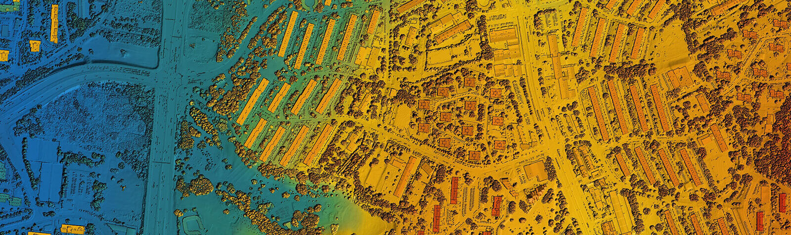
Geospatial
Mobile LiDAR Services
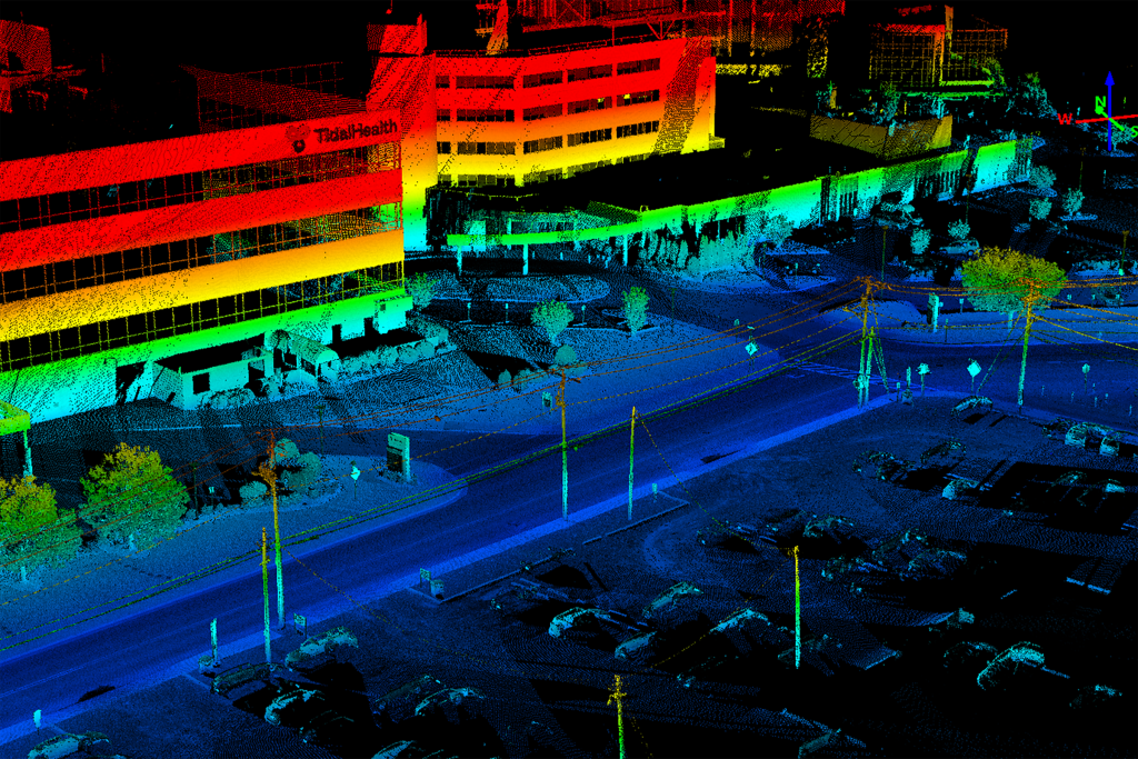
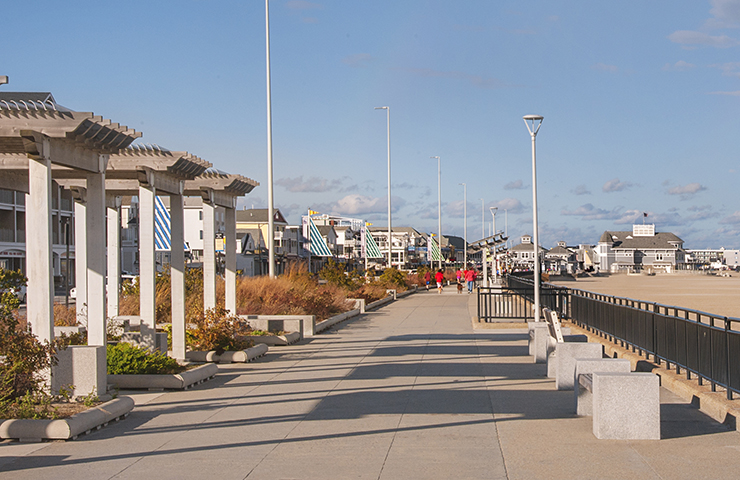
The historic city of Salisbury, MD, is the county seat of Wicomico County and the largest city on Maryland’s Eastern Shore.
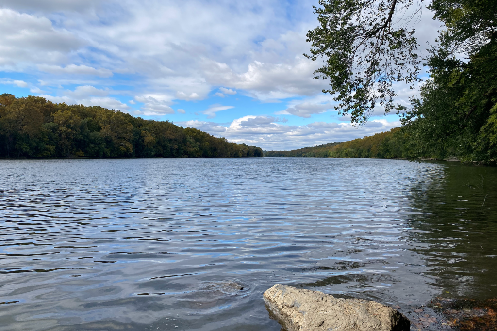
C&O Canal Surveying & Mapping
The Chesapeake and Ohio (C&O) Canal, constructed between 1828 and 1850, runs 184 miles along the Potomac River from Cumberland, MD, to Washington, DC.
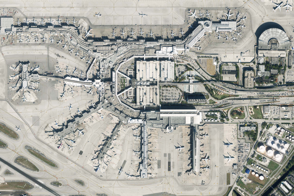
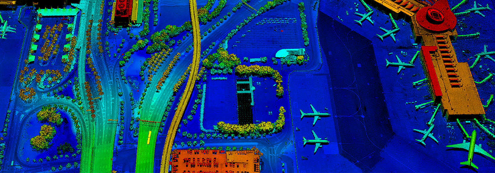
Miami-Dade Airport Mapping and Imagery
The Miami-Dade Aviation Department (MDAD) manages Miami International Airport and four general aviation airports.
See our projects in Geospatial:
Featured Services
Proud to be a sustaining member of the American Society for Photogrammetry and Remote Sensing (ASPRS)
Founded in 1934 the American Society for Photogrammetry and Remote Sensing (ASPRS) is a scientific association serving over 7,000 professional members around the world. Their mission is to advance knowledge and improve understanding of mapping sciences to promote the responsible applications of photogrammetry, remote sensing, geographic information systems (GIS) and supporting technologies.