The Wisconsin Department of Transportation (WisDOT), a state governmental agency, oversees the planning, construction, and maintenance of Wisconsin’s extensive 11,753-mile state highway system, which accommodates over 36 billion vehicle miles annually and includes over 5,000 bridges.
To ensure efficient transportation solutions, WisDOT relies on careful monitoring and in-depth knowledge of the roadways and bridges that make up the system. WisDOT creates and maintains mapping data for its own use in designing and tracking its projects. It also supplies mapping data to the public to support business, recreational, and other interests. In addition to highways and bridges, WisDOT’s mapping includes features such as bike trails, railroads, and harbors.
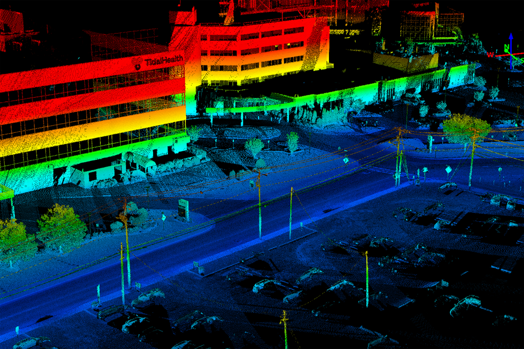
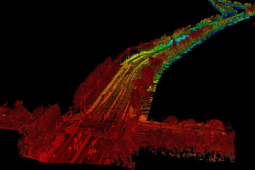
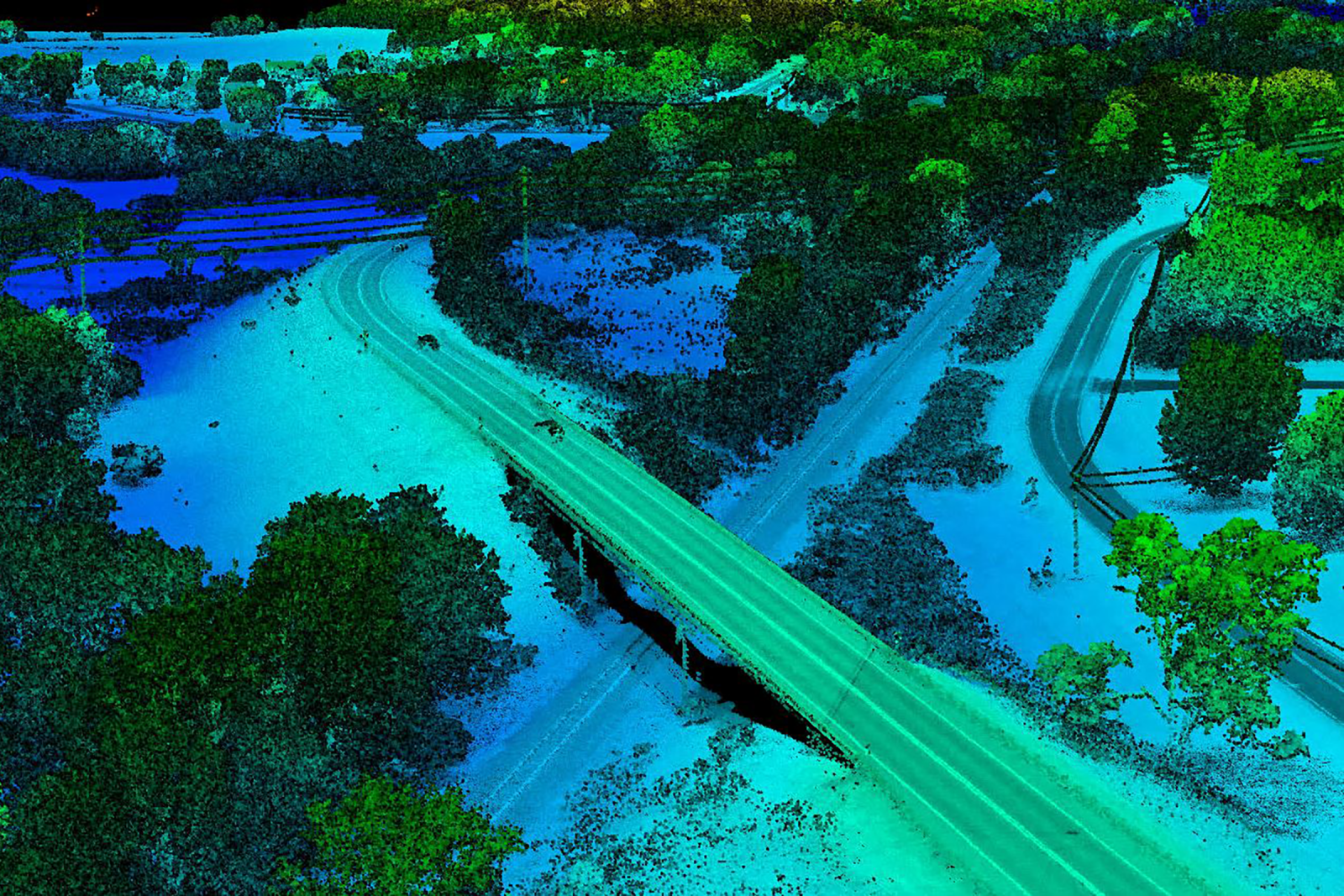
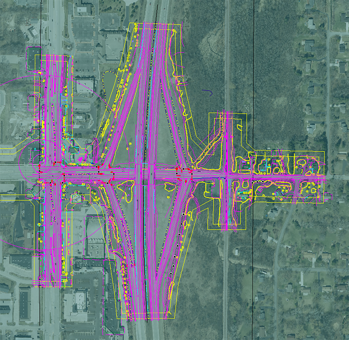
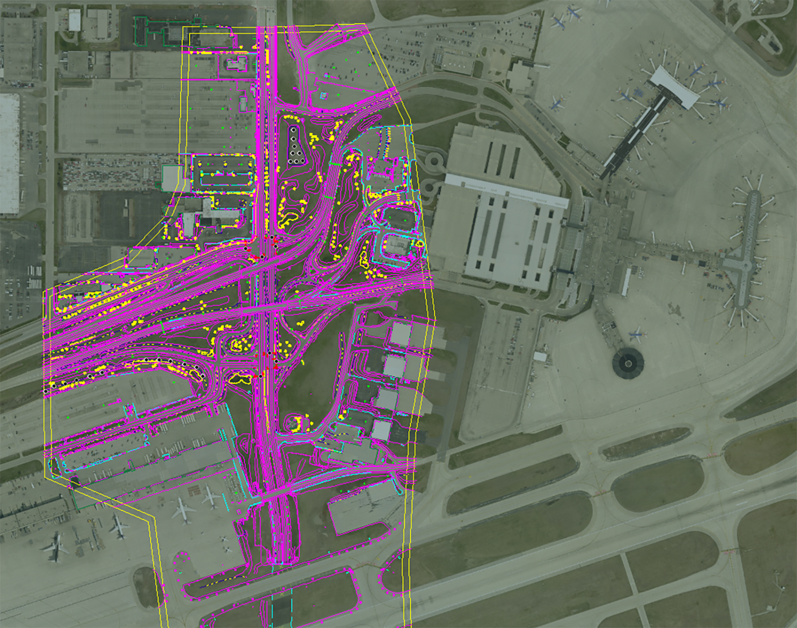
GPI Geospatial, under three consecutive 2-year contracts, provided lidar, photogrammetry, and UAS services. These services included aerial imagery, aerial lidar, mobile lidar, and photogrammetric corridor mapping. Adhering to stringent DOT specifications and quality control procedures, GPI Geospatial completed sixteen independent work orders, covering tasks from aerial lidar and imagery acquisition to full photogrammetric mapping for diverse transportation projects.
Project Highlights
-
Owner/ClientWisconsin Department of Transportation
-
LocationStatewide Wisconsin
-
ServicesAerial LiDAR
Mobile LiDAR
Photogrammetry
Unmanned Aircraft System (UAS)

Ranked in the Top 100 Professional Services Firms
The ENR (Engineering News-Record) Top 100 Professional Services Firms is an annual ranking of the top firms in the professional services sector within the construction and engineering industry. Being recognized as an ENR Top 100 Professional Service firm signifies a company’s excellence, credibility, and competitiveness within the construction and engineering industry.