The New Jersey Department of Transportation (NJDOT) is the state agency responsible for addressing transportation issues and policies in New Jersey. This includes the maintenance and operation of the state’s highway and public road system, as well as the planning and development of transportation policy. NJDOT is actively involved in addressing rail, freight, and intermodal transportation issues to ensure a comprehensive and efficient transportation network within the state.
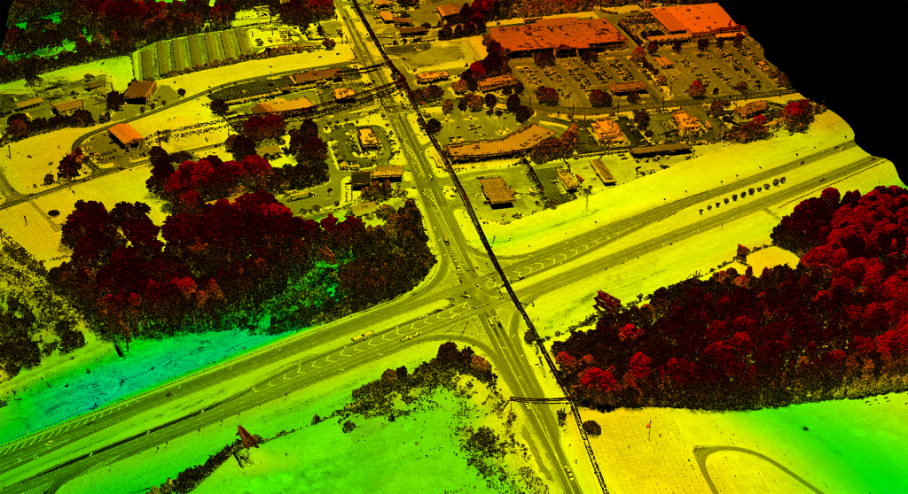
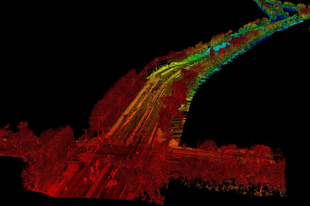
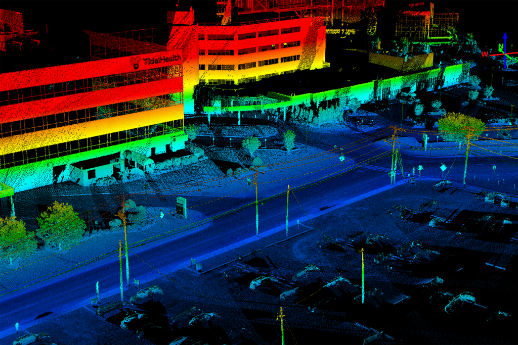
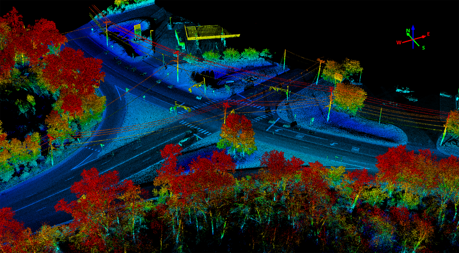
As part of its Transportation Monitoring program, NJDOT maintains up-to-date video logs and straight-line diagrams of their roadways. The Straight Line Diagrams (SLD) present roadways in a linear format, covering approximately 12,528 miles of State (Interstate, U.S., and N.J. numbered roads), National Highway System, Surface Transportation Program, and county routes. The SLD network offers a comprehensive overview of New Jersey’s roadways. Additionally, the NJDOT Roadway VideoLog is a visual resource providing users with a windshield perspective of the state’s roadways through a slideshow format using digital imagery. The VideoLog includes digital images of all state, toll authority, and county roadways, offering a dynamic and comprehensive view of the road network in New Jersey.
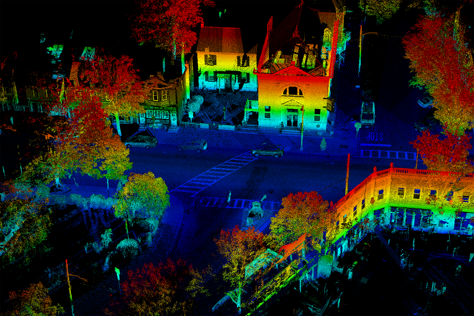
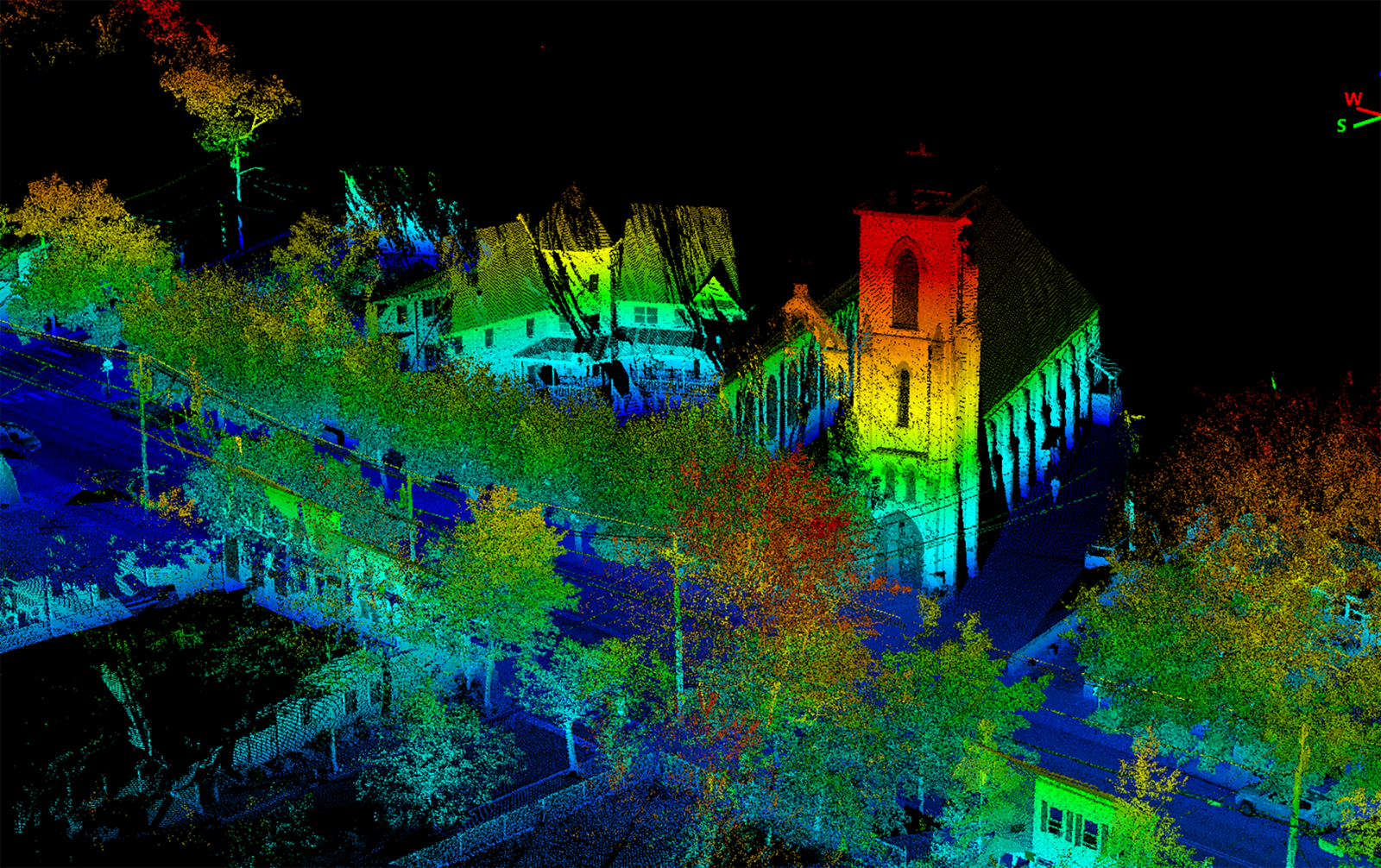
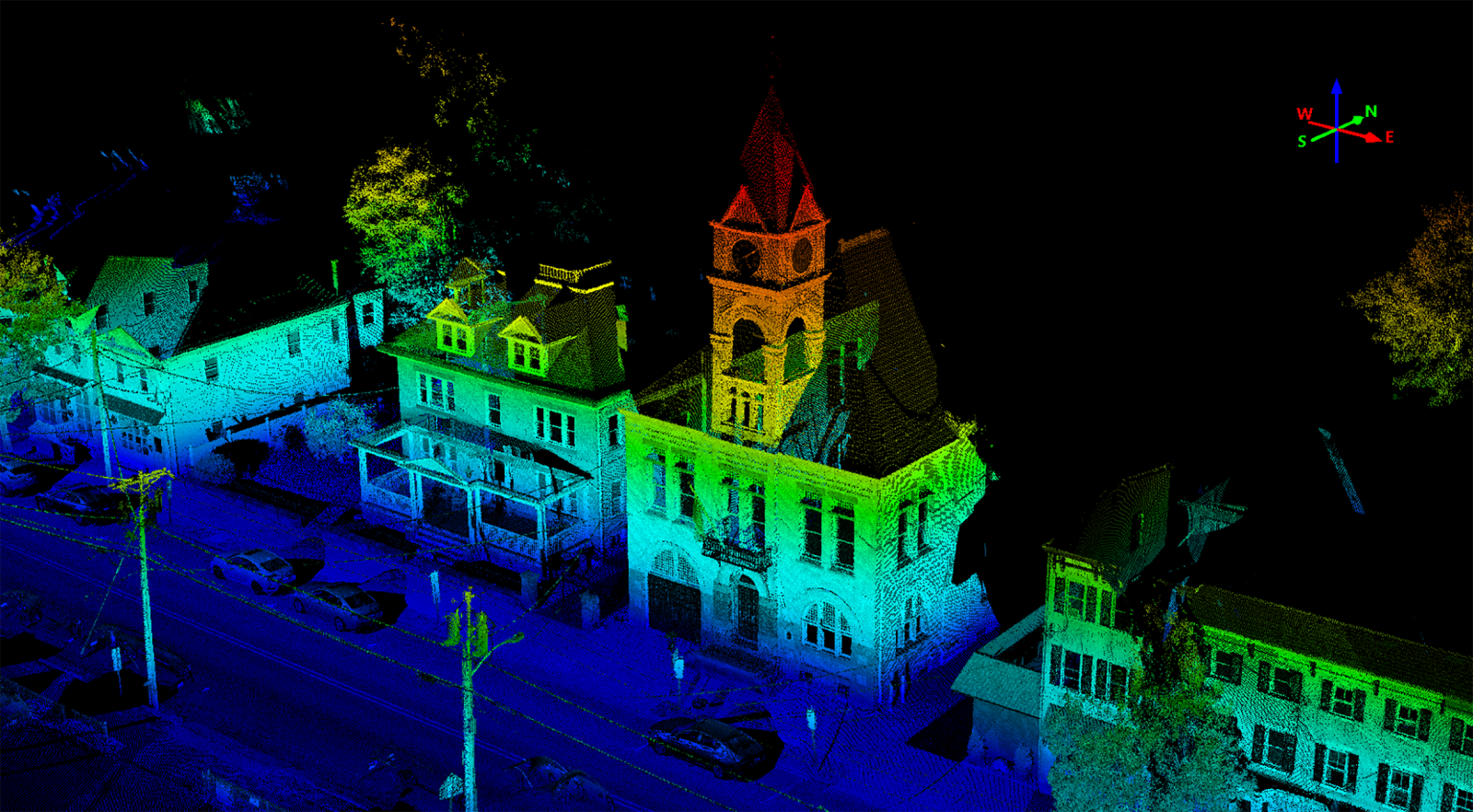
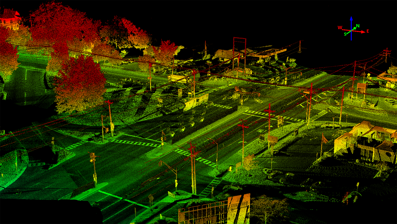
GPI Geospatial works with NJDOT to conduct yearly data traffic monitoring system collections and digital imaging of roadways across the state. To inventory 1,200 bi-directional drive lanes, GPI Geospatial used a mobile mapping system installed on a vehicle, along with a 360° camera system. Each collection day involved calibrating the system, with one person driving the vehicle based on a drive plan and another person managing the collection platform. Both directions of every route were collected to achieve the necessary 360° coverage. Lidar data was concurrently captured with the digital delivery, allowing the crews to collect approximately 60 miles per day. GPI Geospatial processed the imagery and trajectory computation from the mobile mapping unit, with imagery captured approximately every 40 feet, and generated an image point file containing state route identifier, milepost, latitude, longitude, elevation, pitch, roll, bearing, image name, and GNSS time stamp. The imagery was imported into Bentley’s feature extraction software, Orbit GT, helping the collection of data for NJDOT’s SLD program. This data includes street name, speed limit, number of lanes, median type, median width, pavement width, surface type, shoulder width, intersections, interchanges, structures, inventory date, and turn restrictions. The panoramic imagery captured is integrated into NJDOT’s VideoLog Viewing System.
Project Highlights
-
Owner/ClientNew Jersey Department of Transportation
-
LocationStatewide New Jersey
-
ServicesAerial LiDAR
Mobile LiDAR

Ranked in the Top 100 Professional Services Firms
The ENR (Engineering News-Record) Top 100 Professional Services Firms is an annual ranking of the top firms in the professional services sector within the construction and engineering industry. Being recognized as an ENR Top 100 Professional Service firm signifies a company’s excellence, credibility, and competitiveness within the construction and engineering industry.