
Delivering equitable and safe transportation solutions to build stronger communities
Our approach to roadway design goes beyond the standard civil engineering practices.
GPI has established a reputation as a leader in highway design, providing engineering solutions for a wide range of projects, from complete street projects in local communities to highway interchange reconstruction projects. Our diverse background and open-minded approach to projects allow us to develop a solution to an engineering challenge and provide the best solution for the facility owner and surrounding community through public outreach and participation.
Our combined staff of planners, landscape architects, engineers, surveyors, and environmentalists offers a team approach to design that considers all of the elements of the roadway – safety, aesthetics, and the environment.
For every project, our goal is to produce an innovative, cost-effective design that responds to the project requirements and the community’s needs. Our contract documents minimize change orders and construction delays. Our experience has taught us that it pays to be thorough in the design process, and our satisfied clients on past projects benefit from the quality of our construction documents.
HARD WIRED for maximum client satisfaction
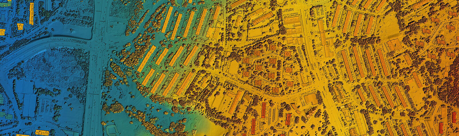
Highways
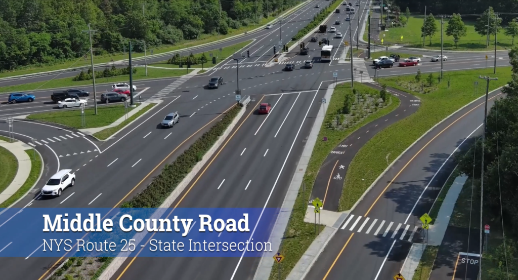
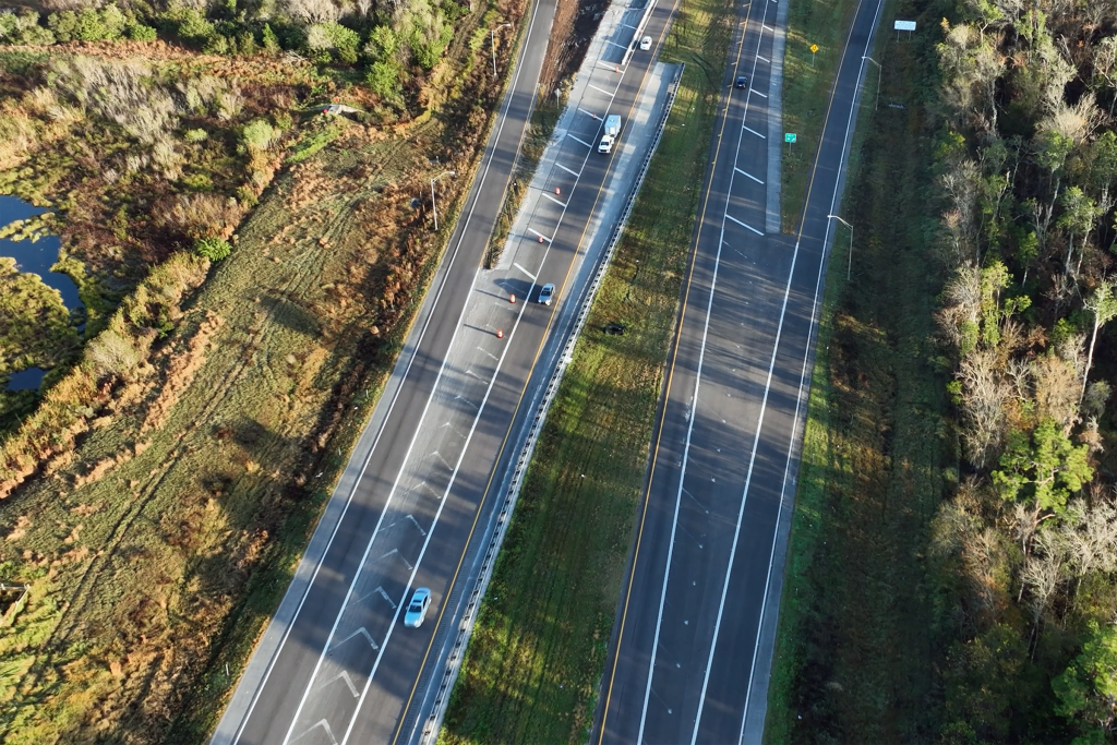
Reconstruction of NY 347: Decongesting & Going Green
GPI played a key role in the design of the comprehensive roadway reconstruction and widening project for NY 347.
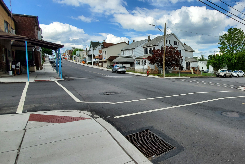
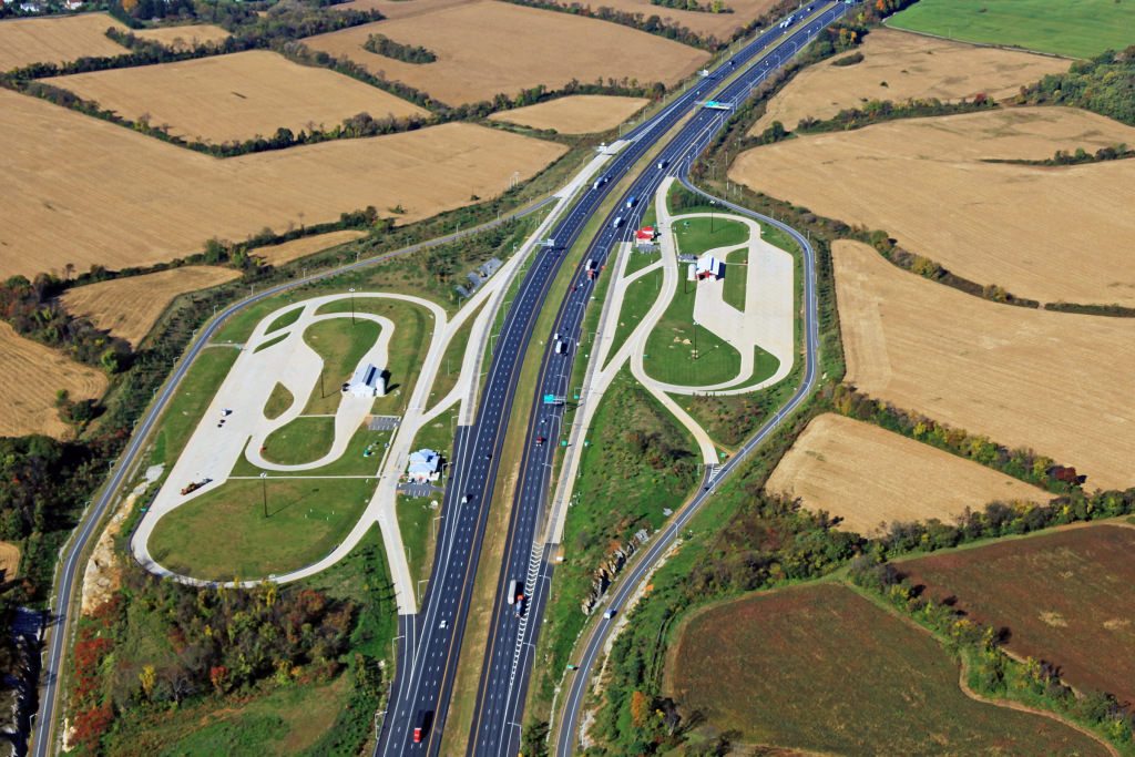
SR 309 Section 03M McAdoo Highway Restoration
Pennsylvania's SR 309 is a crucial part of the National Highway System, spanning 134 miles and connecting Philadelphia County to Wyoming County.
Polk Parkway Widening & Resurfacing
This project consisted of widening the Polk Parkway (SR 570) from two lanes to four lanes.
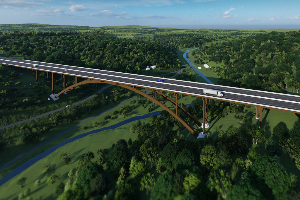
I-78 EB & WB Truck Weigh and Inspection Stations
GPI provided the structural design, overseeing the staged reconstruction and widening of the I-78 EB and WB bridges over the Musconetcong River.
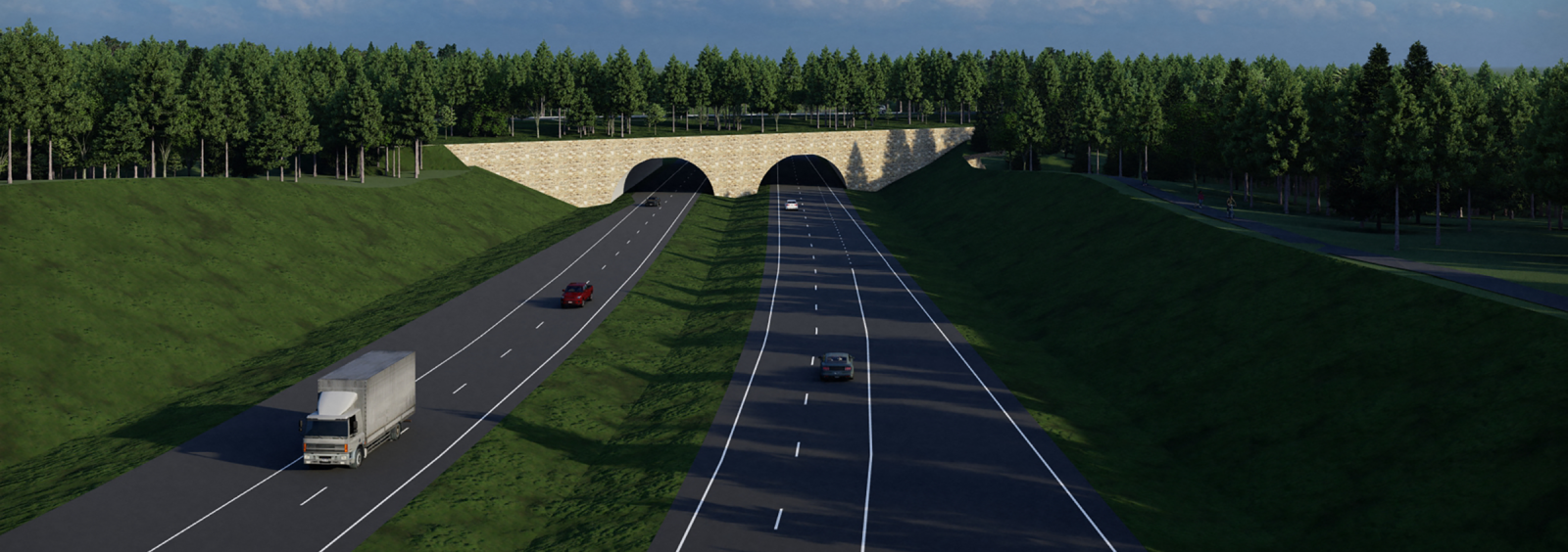
Corridor H Parsons – Davis Segment
GPI’s responsibilities include the management and design of the project and coordination with the client, other agencies, and consultants.
Featured Services

Ranked #25 in the Top Transportation Firms by Engineering News Record Magazine
The ENR (Engineering News-Record) Top 100 Professional Services Firms is an annual ranking of the top firms in the professional services sector that provide design services for transportation-related projects such as highways, bridges, airports, railways, and transit systems.